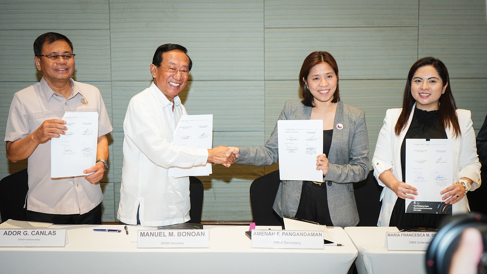
The Department of Public Works and Highways (DPWH) and the Department of Budget and Management (DBM) have signed a Memorandum of Understanding (MOU) to formally launch their partnership for the implementation of Digital Imaging for Monitoring and Evaluation (DIME) - a technology-driven initiative designed to improve the monitoring and evaluation of government projects.
The signing ceremony took place on May 20, 2025, at the Luxent Hotel in Quezon City, and was led by DPWH Secretary Manuel M. Bonoan and DBM Secretary Amenah F. Pangandaman.
Also in attendance were DPWH Undersecretary Ador G. Canlas, DBM Undersecretary Maria Francesca M. Del Rosario, contributors to Project DIME from the University of the Philippines (UP) including UP Vice President for Digital Transformation Peter A. Sy and UP Resilience Institute and NOAH Center Executive Director Alfredo Mahar Francisco A. Lagmay, and DPWH Bureau of Construction (BOC) Director Allan S. Borromeo and Finance Service (FS) Director Genevieve E. Cuaresma. Civil society partners and representatives from various government agencies also participated in the event.
Project DIME, a DBM-led initiative, leverages modern technologies—such as satellites, drones, and geotagging—to ensure the transparent and efficient use of public funds, particularly for the benefit of marginalized communities.
In his message, Secretary Bonoan emphasized that the DBM-DPWH partnership is in line with President Ferdinand R. Marcos Jr.’s Bagong Pilipinas vision—one where technology strengthens governance, data informs infrastructure development, and transparency is embedded in every aspect of public service.
As part of the new partnership, the DPWH through the BOC, FS, Information Management Service and Stakeholders Relations Service will collaborate closely with the DBM to strengthen the DIME website. The initiative focuses on enhancing transparency and accessibility through real-time project updates, multimedia content, and Geographic Information Systems (GIS) integration.
Continuous coordination between both agencies will ensure improved platform performance, field validation of data, responsible content management, and targeted capacity-building interventions.
